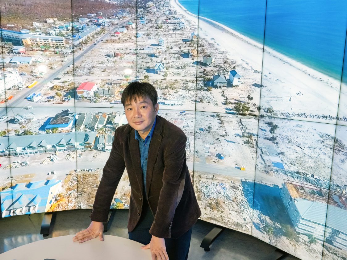
A professor of engineering leads an effort to digitalize New Jersey communities to predict flooding and gauge storm damage risk. The forecast calls for a foot of rain. Floodwater will submerge roads and ruin structures. The question is which roads and structures. While flood maps have provided some answers, surveys are laborious and expensive, so they rarely have all the …
The Rutgers Institute of Earth, Ocean, and Atmospheric Sciences (EOAS) has been transitioned into the Rutgers Climate and Energy Institute (RCEI). The calendar and news posts will no longer be updated on this site. As we continue to transition, the remaining information from this website will be migrated over to the new RCEI website.